




High-tech satellite imagery to measure on-farm environmental performance
A groundbreaking collaborative two-year project aimed at helping Australian woolgrowers cost-effectively report their environmental credentials has successfully secured $241,500 in research funding from the SmartSat Cooperative Research Centre (CRC). This project, with a total value of $4,865,950 (cash and in-kind), was made possible by $120,000 in seed funding from Australian Wool Innovation (AWI).
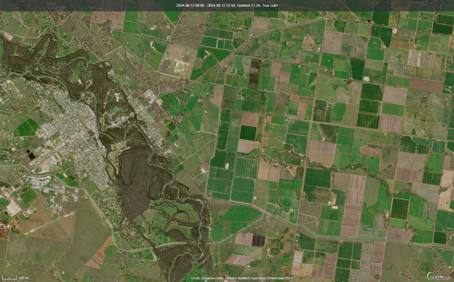
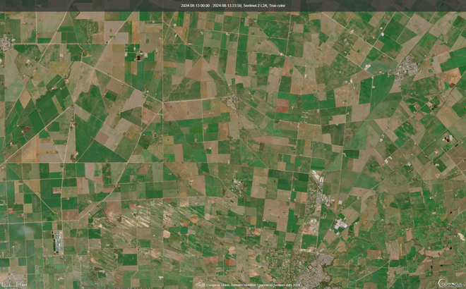
As textile brands increasingly seek wool from farms with verified positive environmental practices, the traditional method of on-site audits by ecologists has proven too costly and time-consuming for widespread adoption. This new co-funded project seeks to overcome these challenges by leveraging advanced satellite imagery to consistently and efficiently measure on-farm natural capital metrics such as ground cover, tree cover, shade and shelter, and greenhouse gas sequestration.
The project is a collaboration involving La Trobe University, AWI, the Macdoch Foundation (Farming for the Future), Integrated Futures and the SmartSat CRC. Funded by the Australian Government, the SmartSat CRC is a consortium of industry and research organisations dedicated to developing space and satellite technologies.
Angus Ireland, AWI Program Manager, Fibre Advocacy & Eco Credentials, emphasised the project’s goal to empower Australian woolgrowers to meet market demands cost-effectively.
“Measuring and reporting on-farm natural capital is increasingly being requested for all types of agricultural products and is becoming essential for market access,” he said.
Prof Andy Koronios, SmartSat Chief Executive Officer, said the project is aligned with SmartSat CRC’s broader objectives to support the recently announced National Science and Research priorities.
“This project, focusing on the use of remote sensing technologies for natural capital asset classification, exemplifies SmartSat CRC's commitment to collaborative research aligned with the nation’s science priorities and to use space tech innovation to help solve our current challenges on Earth.
We are excited to bring La Trobe University, AWI, Farming for the Future, and Integrated Futures together in this initiative.
The project will utilise SmartSat CRC's ‘Earth observation’ capability, La Trobe University's expertise in artificial intelligence and machine learning, and Farming for the Future's extensive dataset of ground-truthed observation points, to enhance the measurement and monitoring of on-farm natural capital.
Once validated and implemented, this new technology is expected to be applicable across a wide range of geographic areas and farming systems”.