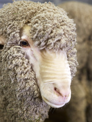
Remote sensing natural capital for woolgrowers
Harnessing AgTech to better measure a property’s soil, water and vegetation is at the heart of this project. It's all about unlocking more data on natural capital and how that information can help your enterprises' performance on farm to make your wool more valuable.
Recent research has shown a strong link between natural capital and farm business performance, and consumers, supply chains and markets are paying close attention to where and how their products are produced.
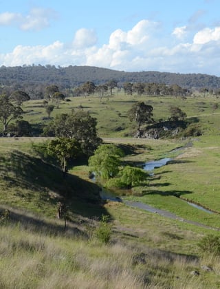
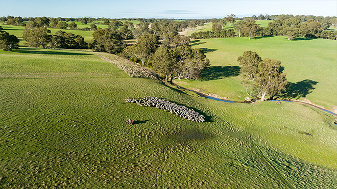
The ability to quantify natural capital is therefore increasingly important. Traditionally this has been done through ground-based assessments that, while valuable, can be costly, time consuming and difficult to scale. This project, led by researchers at La Trobe University and co-funded by the SmartSat Cooperative Research Centre (CRC), AWI, the Macdoch Foundation (Farming for the Future) and Integrated Futures, is addressing this challenge by using remote sensing technologies to map natural capital across entire farms.
Natural Capital is important
Despite widespread use of remote sensing in agriculture, most existing products are not designed to quantify natural capital in a way that supports farm management or nature markets.
“By identifying assets and tracking their change over time, the approach enables farmers to demonstrate nature positive performance in a way that is credible to markets.”
Firstly, ecological processes operate at fine spatial scales – often within or between paddocks, and management decisions are often made at these same scales. Many products lack sufficient spatial resolution which masks the diversity that exists within farms.
Secondly, most products are not ecologically resolved, that is, they do not distinguish between ecologically meaningful states. For example, common indices such as vegetation cover may indicate a paddock dominated by annual weeds as highly productive because it appears green, even though the system may be in poor condition. By contrast, a drought-resilient perennial pasture may appear less productive in the short term, but is often functionally healthier, with deeper root systems, improved groundcover and greater long-term stability.
Thirdly, many products are not temporally resolved which limits condition assessment. Single snapshots cannot distinguish between seasonal variability, management effectiveness and long-term trends.
Without linking remotely sensed signals to natural capital assets, composition and function, these products fail to represent condition in a meaningful way and insufficient for ecological accounting, natural capital assessment and nature-positive claims.
What the project is doing
The project is developing a new approach that uses remote sensing and machine learning to identify and map natural capital assets at the farm-scale, down to sub-paddock levels. The models the researchers are developing make use of the ground survey datasets developed by Farming for the Future. The approach brings together satellite imagery collected over time with on-ground field data to classify woody vegetation and tree canopy cover, and to score pasture and vegetation based on native composition, from highly native diversity through to fully exotic pastures or crops.
Progress to date has been encouraging. Initial results show that the researchers can resolve meaningful ecological variation at the sub-paddock level that reveals patterns not captured by existing products. The approach successfully identifies canopy cover and assigns native composition values to satellite-visible ground cover. These values are then scaled to ecological condition categories associated with varying levels of canopy and ground cover nativeness.
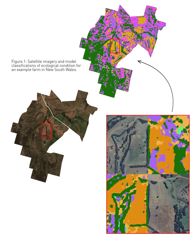
Satellite imagery helps
An example farm in Figure 1 illustrates this clearly: areas in green are identified as tree canopy. Patches of bright green and purple correspond to high (41-70%) and medium (11-40%) levels of native pasture composition while light orange and dark orange are low (0-10%) native pasture composition and exotic pasture, respectively. When comparing ground level observations and satellite images, the remotely sensed outputs align closely with the known on-ground condition.
The outputs are further integrated into defined ‘ecological condition states’ based on the extent of canopy cover and composition of surrounding ground cover.
These condition states have been shown to be a good surrogate for biodiversity and are closely linked to the provision of key ecosystem services. Together, they provide a meaningful, spatially coherent representation of the farm’s ecological condition.
Validation is the key
That said, more work is still needed. Continued model refinement is currently underway, expanding training datasets to integrate the classification of shrubs, riparian zones, dams and waterways into the current models. Ongoing validation will be critical to ensure the products are trusted and useful.
Carbon markets, biodiversity credits, sustainable supply-chain requirements and emerging “nature-positive” standards all require credible, repeatable, and spatially explicit evidence of ecological outcomes. This work directly supports the Nature Positive Farming framework by providing measurable, spatially explicit metrics of natural capital. By identifying assets and tracking their change over time, the approach enables farmers to demonstrate nature positive performance in a way that is credible to markets.
This article appeared in Issue 105 of AWI’s Beyond the Bale magazine that was published in March 2026. Reproduction of the article is encouraged and should be attributed as follows: This article was first published in Issue 105 of AWI’s Beyond the Bale magazine.